
Sanborn Maps are maps produced by an American insurance company. Explore them and see the layout
of the North East neighborhood before urban renewal.
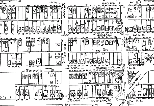
| Map of North East portion of North East | Map of North West portion of North East | Map of southern North East neighborhood |
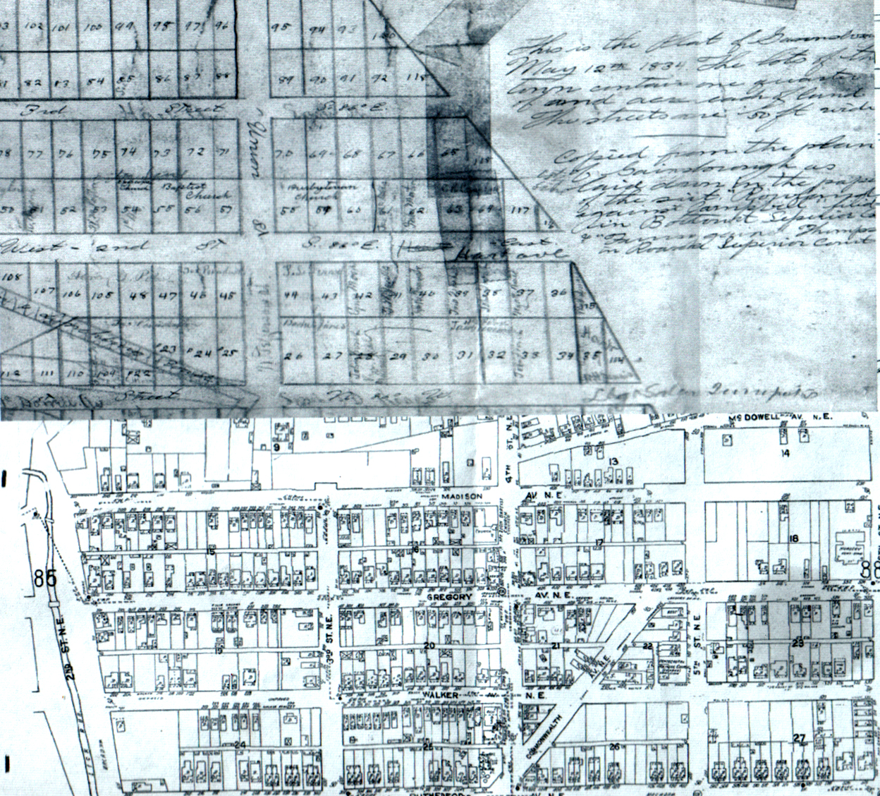
This is a combination map of old Gainsboro in 1834 at the top and
North East from a Sandorn Map below. Click the map for a larger view.
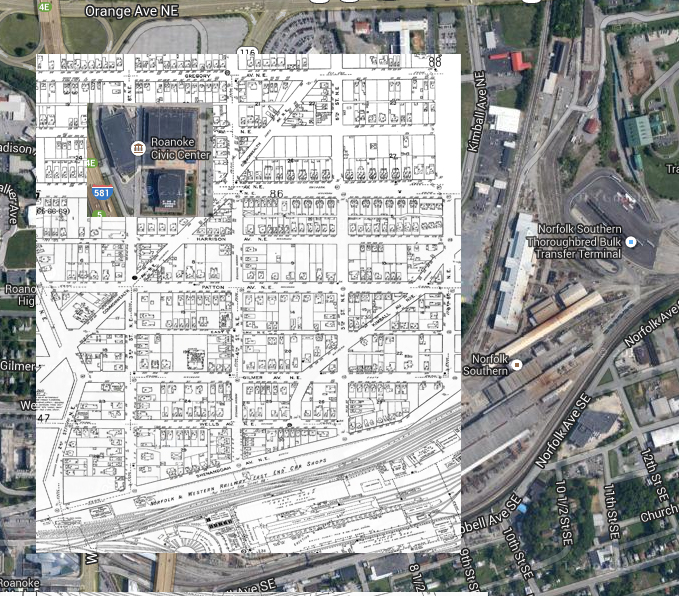
Above is a combination of Sanborn and Google Maps showing the location of buildings in North East over what is
currently there.
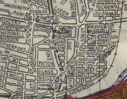
Above is a section of a 1950s road map showing the layout of the
North East neighborhood.